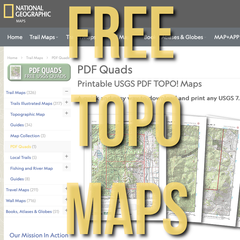
FREE National Geographic Quadrangle Maps
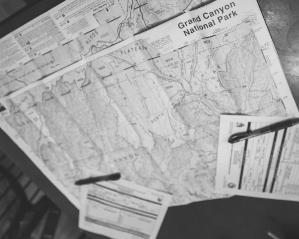
If you are like us, you spend a fair bit of time in the woods and often times a good map of the area that you are exploring is hard to find. We use GPS often, but sometimes we enjoy route planning on a good, ole fashioned paper map. A good practice that we have started its when taking off into the woods is to keep a paper copy of our map stuffed in a ziplock baggy somewhere on our person in case of GPS failure, dead batteries, etc. One of our favorite maps is the National Geographic Quad and now you can download them for FREE!
The Nat Geo 7.5 minute quad is a highly detailed topographic map style that was created and used by the United State Geological Survey for decades. These maps are available for anywhere in the continental US and did we mention they are FREE. Keep in mind that the USGS hasn’t updated these maps in a few years, so some landscapes may have changes a bit, but how much can a landscape really change?
How to Download Free Nat Geo Quad PDF’s
To download, navigate over to the National Geographic PDF Quads Page.
Enter an e-mail address to sign up, nothing is FREE anymore! You can always unsubscribe when they start sending you e-mails.
Find the area you want to explore on the map or search for a particular area.
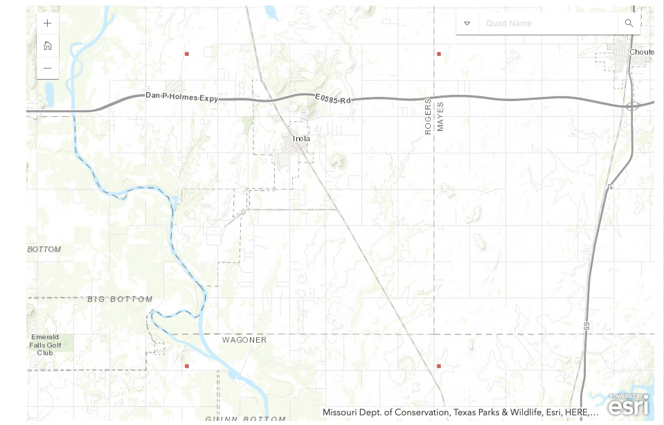
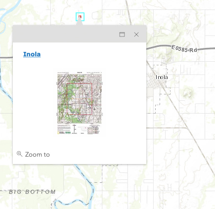
Click a red box to open a new window which will contain an overview map of the 4 quads that your selected red box borders as well as the 4 individual quads themselves.

That’s it! A super easy and extremely helpful tool for route planning and backcountry exploration. We are already planning out some backcountry routes for 2019 and you should too!
If you found this article helpful and informative, please let us know by subscribing to our e-mail newsletter, following us on Facebook and Instagram and subscribing to our YouTube channel.