Beach Camping in San Felipe, BC: Campo #1 Touristico
Enjoy beach camping near San Felipe, Baja California. Wifi, showers, and a restaurant make this the best spot in town!
Overland Travel ⎮ Adventure Photography
Enjoy beach camping near San Felipe, Baja California. Wifi, showers, and a restaurant make this the best spot in town!
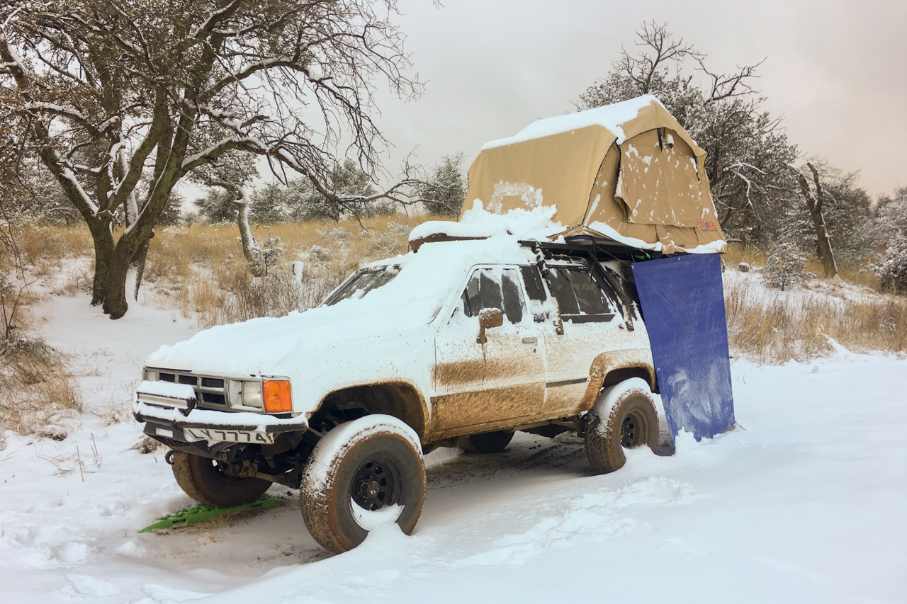
We live in Roof Top Tent FULL TIME! Read up about our first impressions of living in a roof top tent on the road.
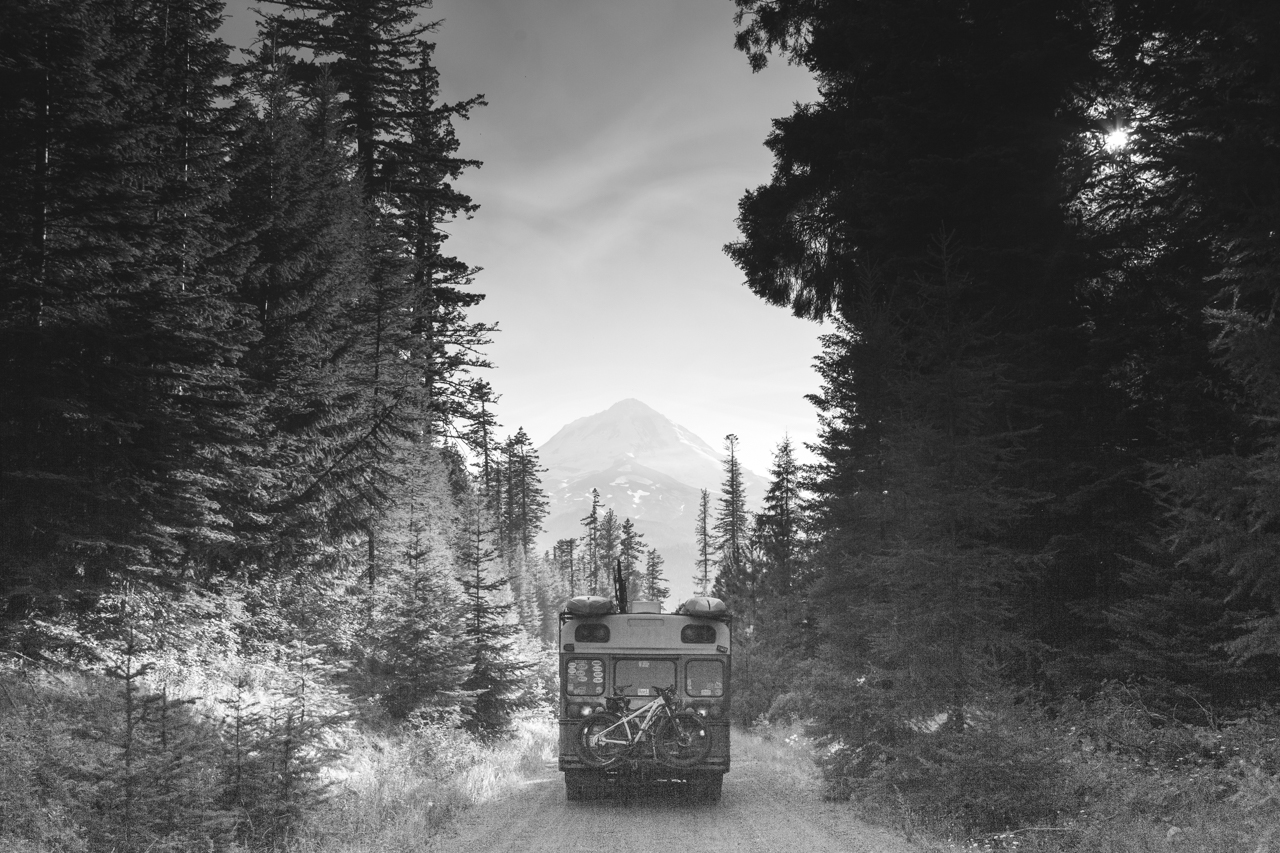
Free Camping in Oregon was as easy as we expected but not nearly as beautiful as we had thought. These campsites, however, allowed us to
If your social media feeds are like mine, they are littered with #vanlifers that are sprawled out in their sprinter conversions, physically exquisite companion half
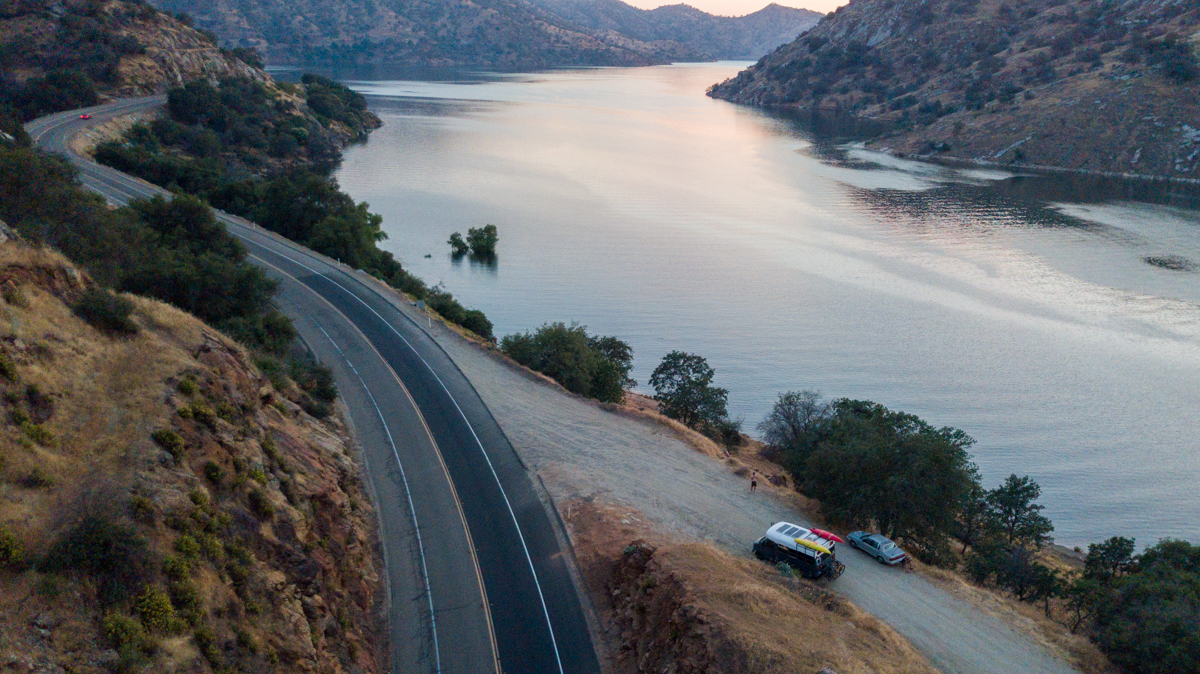
Remington Hot Springs Lake Isabella, CA GPS: 35.576386, -118.552872 Much like many of the sites we review, this is a parking lot. There are pull-outs all
We were pleasantly surprised to find more than enough FREE camping SoCal and we didn’t have to camp in a Wal-Mart parking lot! Below are
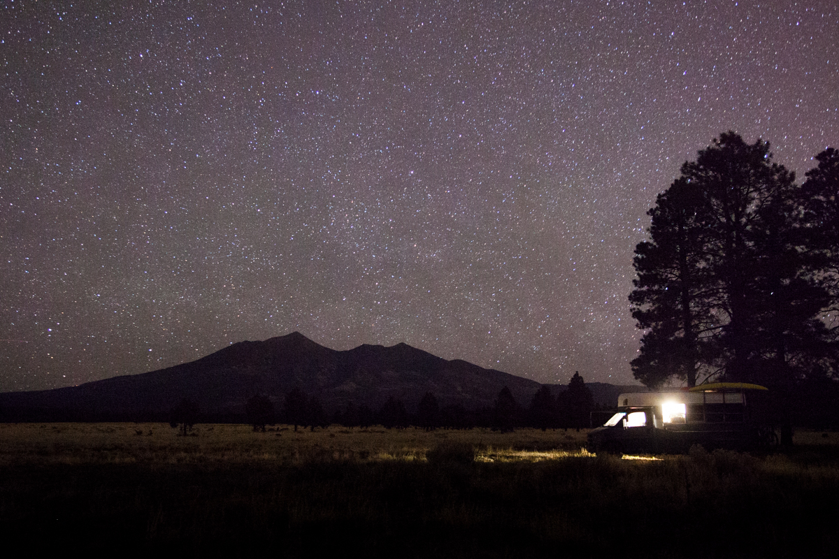
We had a ball in Arizona! From backpacking in the Grand Canyon for 5 days to volunteering at a massively cool event (Overland Expo), to
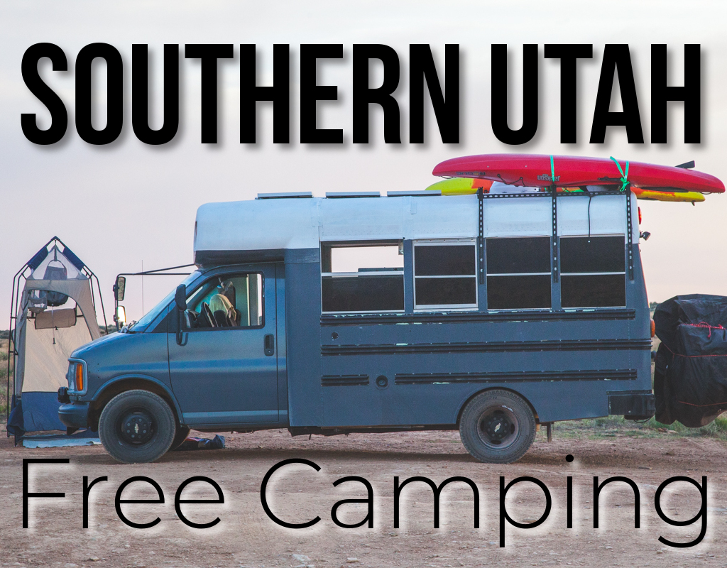
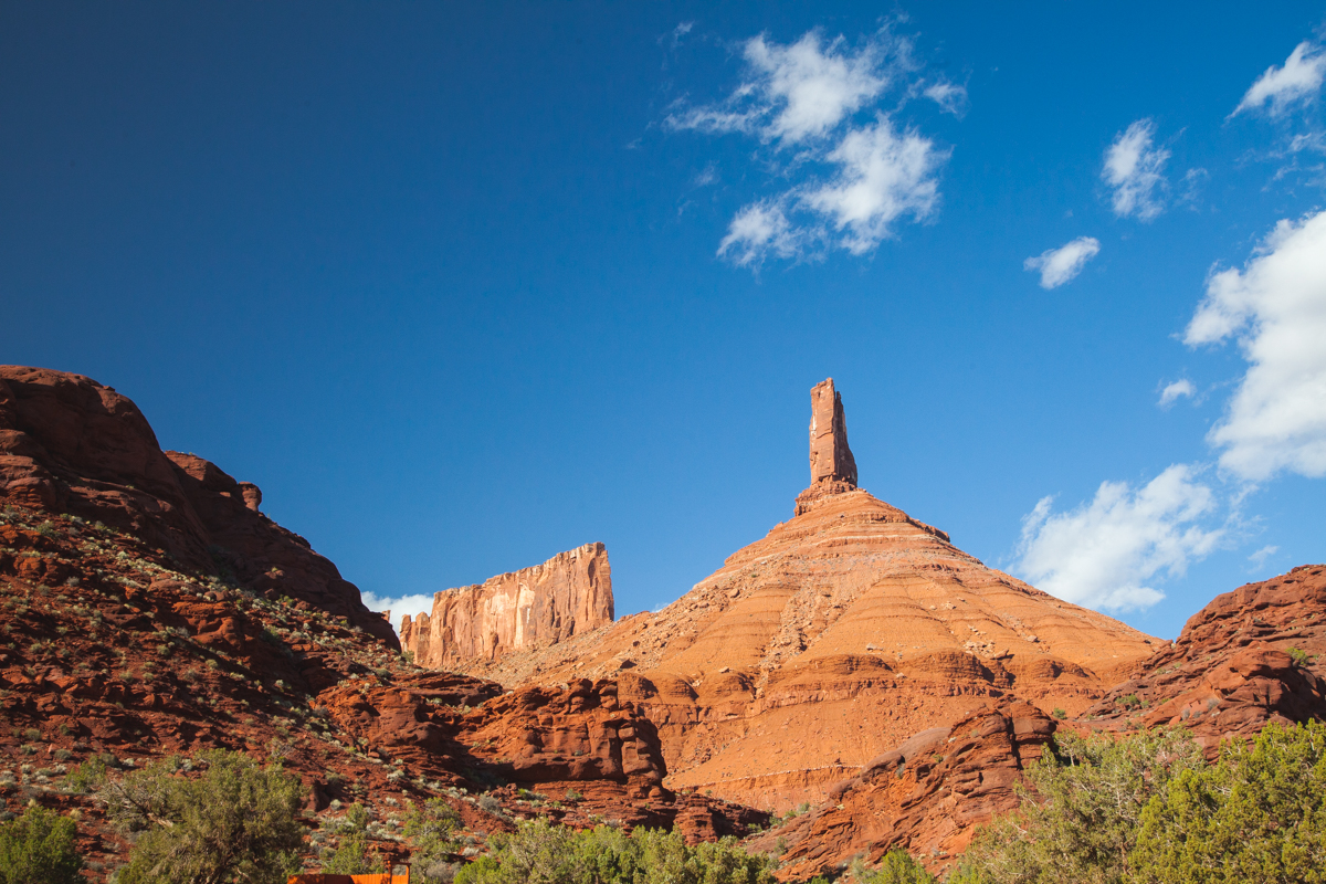
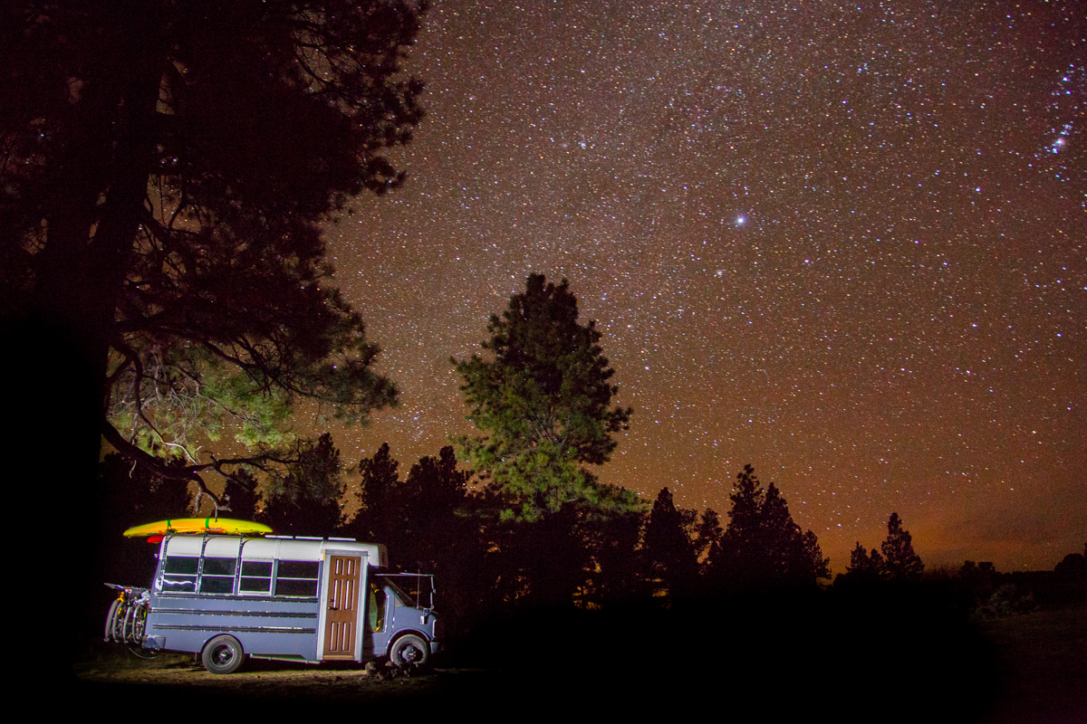
Southern Utah Free Camping Mexican Hat BLM GPS: 37.172547, -109.847076 If you are leaving Moab, UT and looking for something fun and interesting to
Below we have organized the campsites that we used while visiting the Moab, UT area and hope that you find them useful alternatives to paying
GPS: 36.655331, -105.977997 We had planned on pushing through to Durango, CO and instead opted to stay near Taos, NM in the Carson National Forest.