Free Camping in the Sierras
Remington Hot Springs
Lake Isabella, CA
GPS: 35.576386, -118.552872
Much like many of the sites we review, this is a parking lot. There are pull-outs all along this road, but this GPS point is a lot. It has excellent views of the Kern River below, and access to the Remington Hot Springs just down-hill.
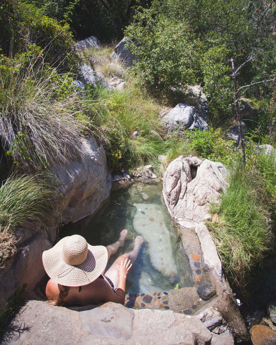
The springs are nice and this spot is a great place to park to enjoy a late-night or early-morning soak.
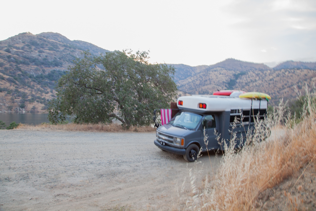
Behind the Rock
Three Rivers, CA
GPS: 36.409936, -118.94564
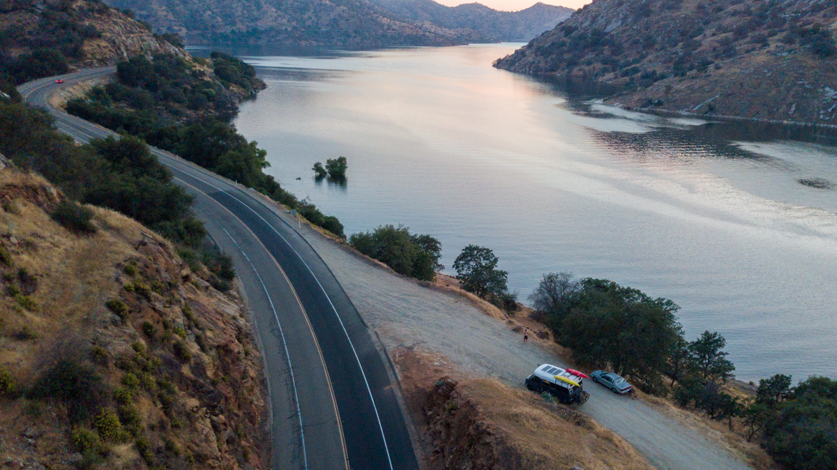
This spot is exactly how the title sounds, behind the rock. There is a turnout at this GPS point that is behind a large mound of rocks that insulates the lake-side of the boulder from most of the road noise nearby.
There are toilets just down the road from this spot in the day-use area on the lake and the entrance to Sequoia National Park is only a short drive up the hill.
Stone Creek
Sequoia National Park
GPS: 36.663691, -118.846050
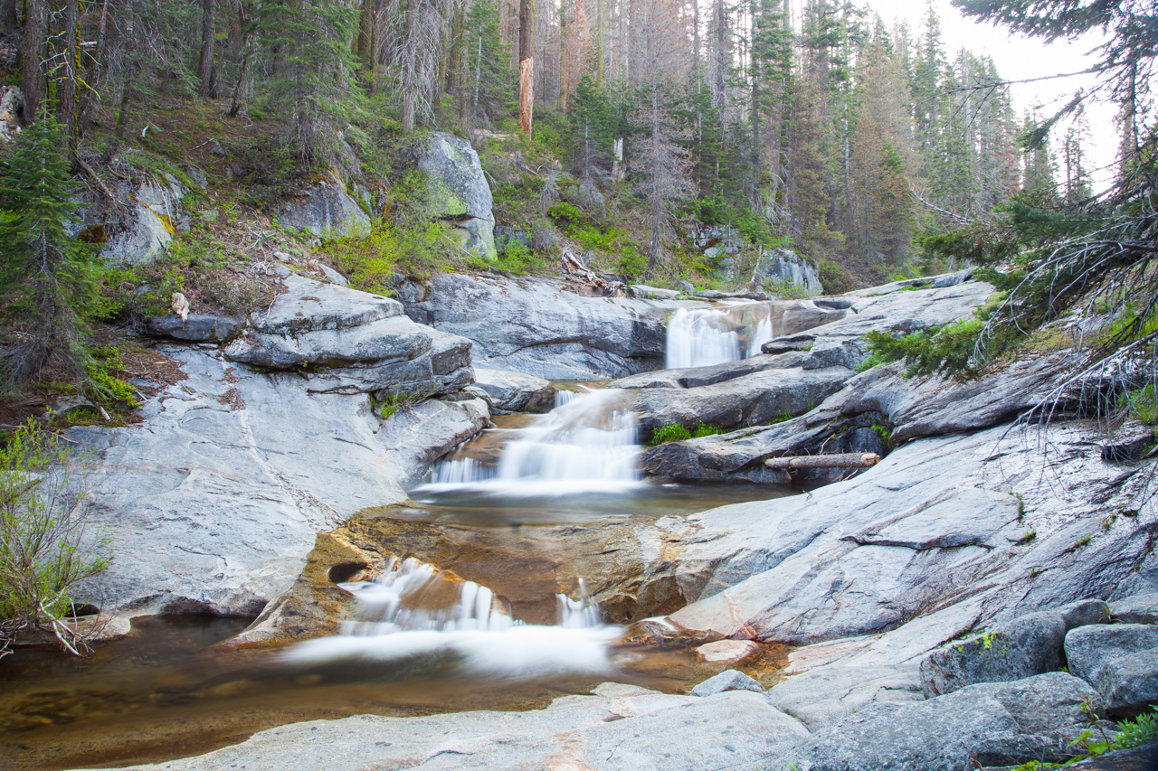
When exiting Sequoia National Park, you will pass Stone Creek Store and just after the store on the left you will see a Forest Service Road that is blocked with a tree. Next to the tree is a new trail/road leading back to several secluded spots.
This is a great spot to explore both National Parks nearby and a short hike North of here is a beautiful cascade waterfall. Animals walk through this area all day and don’t seem to mind people one bit.
Buck Rock Meadow
Kings Canyon National Park
GPS: 36.722725, -118.850537
There are pull-outs all down this road between Kings Canyon and Sequoia National Parks. Any sized rig can fit somewhere on this road. We found a spot right near a meadow a few miles down the road with a good view and level ground.
There were vault toilets near the beginning of the road and at both park visitor centers.
Bass Lake
Bass Lake, CA
GPS: 37.293835, -119.531886

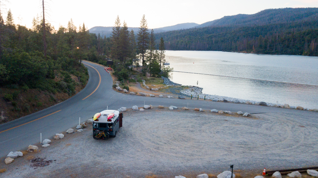
Bass Lake is more of a stopover campsite instead of a “stay for a week” campsite. We stayed two nights and moved our rig during the day. The sheriff drove by at least once and waved, very friendly. We kayaked on the lake and explored the “town” before heading into Yosemite. Please don’t abuse this spot by having campfires, leaving trash, or being belligerent. This is a great rest stop before the National Park.
The nearby boat launch had bathrooms and potable water. The local authorities are very serious about collecting their day-use fees and were writing tickets during the week while we were there in the early summer. Tread lightly.
Miami Creek OHV Area
Fish Camp, CA
GPS: 37.415164, -119.636342
This is an OHV area and it appears that OHV drivers get to do whatever they want here. We stayed the evening up this road and only had a few rigs “BRRAAAAAPP” past us in the evening. The mosquitos were moderately aggressive, but the spot was level and relatively quiet.
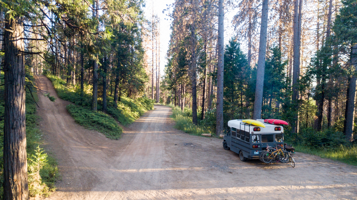
Makes for a great basecamp for resupply in Oakhurst or traveling into Yosemite.
Goat Meadow Trailhead
Fish Camp, CA
GPS: 37.491268, -119.623491
 This is a pretty straight forward parking lot and small wooded section nearby for dispersed camping. This is a simple lot with no amenities. Pack it in, pack it out.
Have you traveled frequently in this area and have a suggested spot? We would love to hear about it and potentially add it to our article. Email us at okienomads@gmail.com