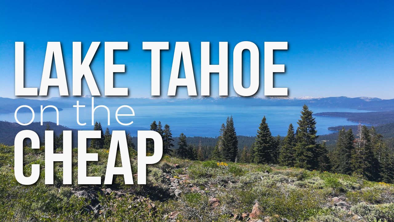
How to Enjoy Lake Tahoe on a Budget
We have all seen the images or videos of the picturesque scene with the bikini-clad paddleboarder gliding across the iconic crystal-clear water of Lake Tahoe
Overland Travel ⎮ Adventure Photography
We have all seen the images or videos of the picturesque scene with the bikini-clad paddleboarder gliding across the iconic crystal-clear water of Lake Tahoe
By: Ethan Hayman Whether you choose to explore the world around you by motor vehicle, bicycle, or by foot there is a fine line between
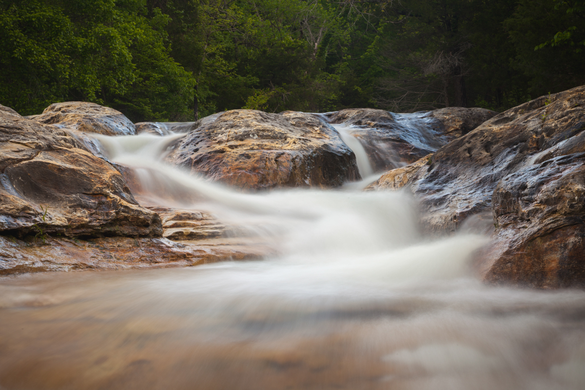
GPS Coordinates: 35.997521, -94.897183 Nearest Town: Tahlequah, OK One of my favorite aspects of living in Northeast Oklahoma and Tahlequah in general are the outdoor
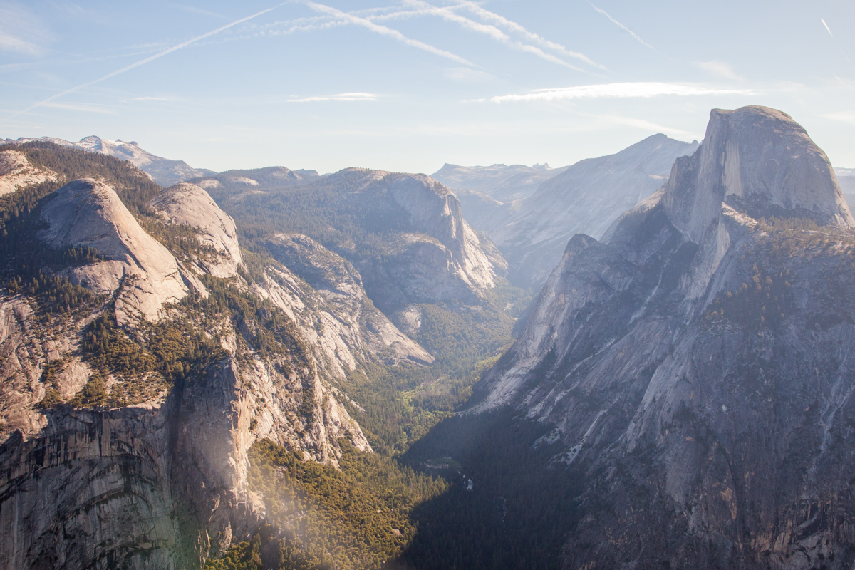
Entry into the Sierra Mountain Range was special for both of us. Neither of us had ever been to this part of the country and
We had just walked out of the Grand Canyon after a 5-day backpacking trip through some of the most beautiful canyon-country in the world. Surely,
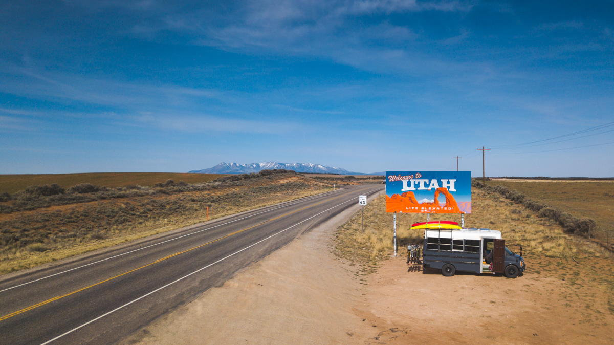
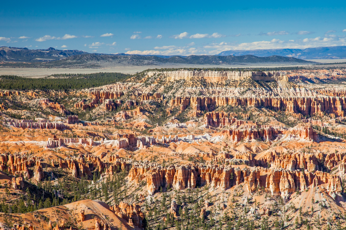
Utah is beautiful, mystifying, and captivating. These are our top-5 stops in Southern Utah. These might not be the most popular, but they are unique,
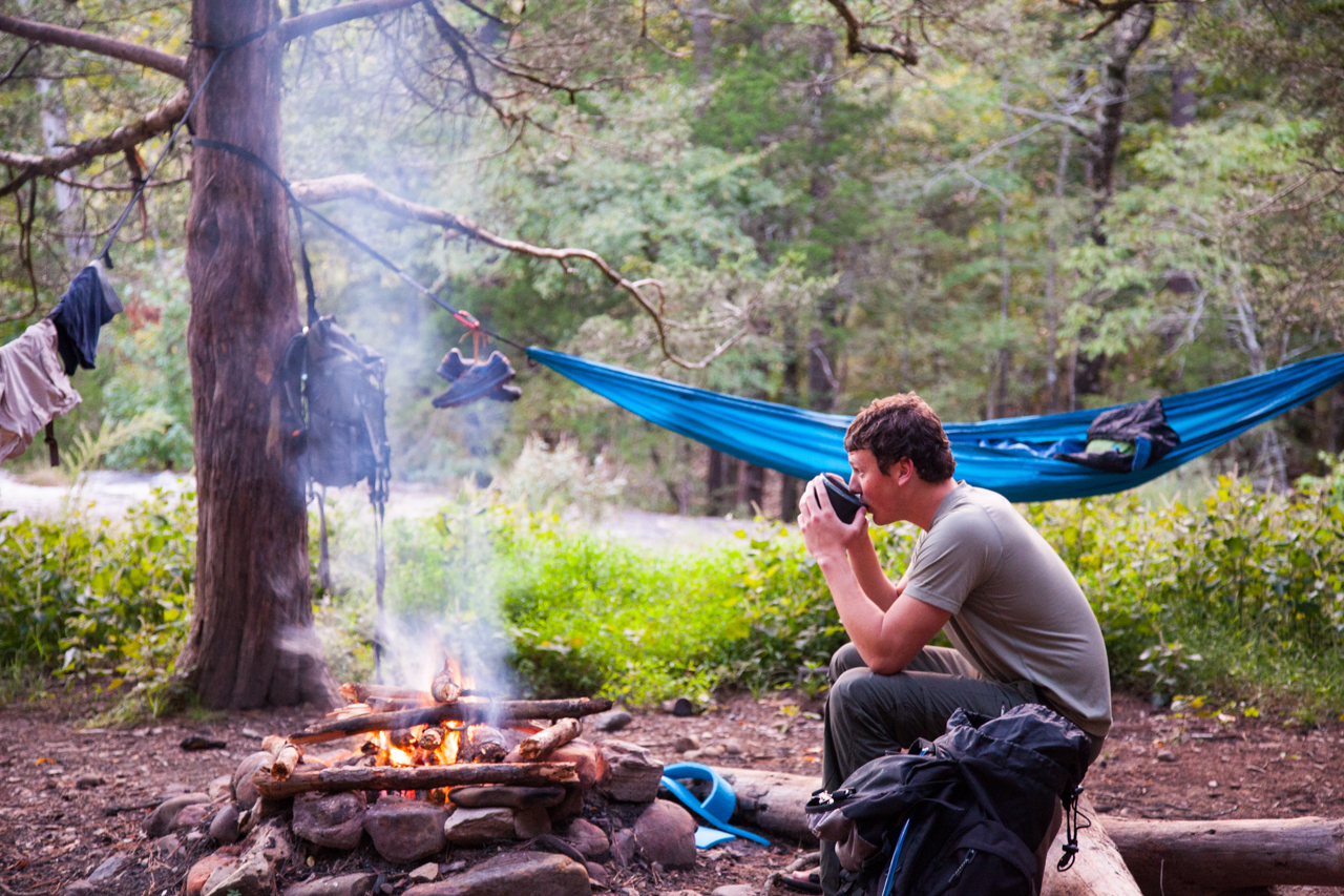
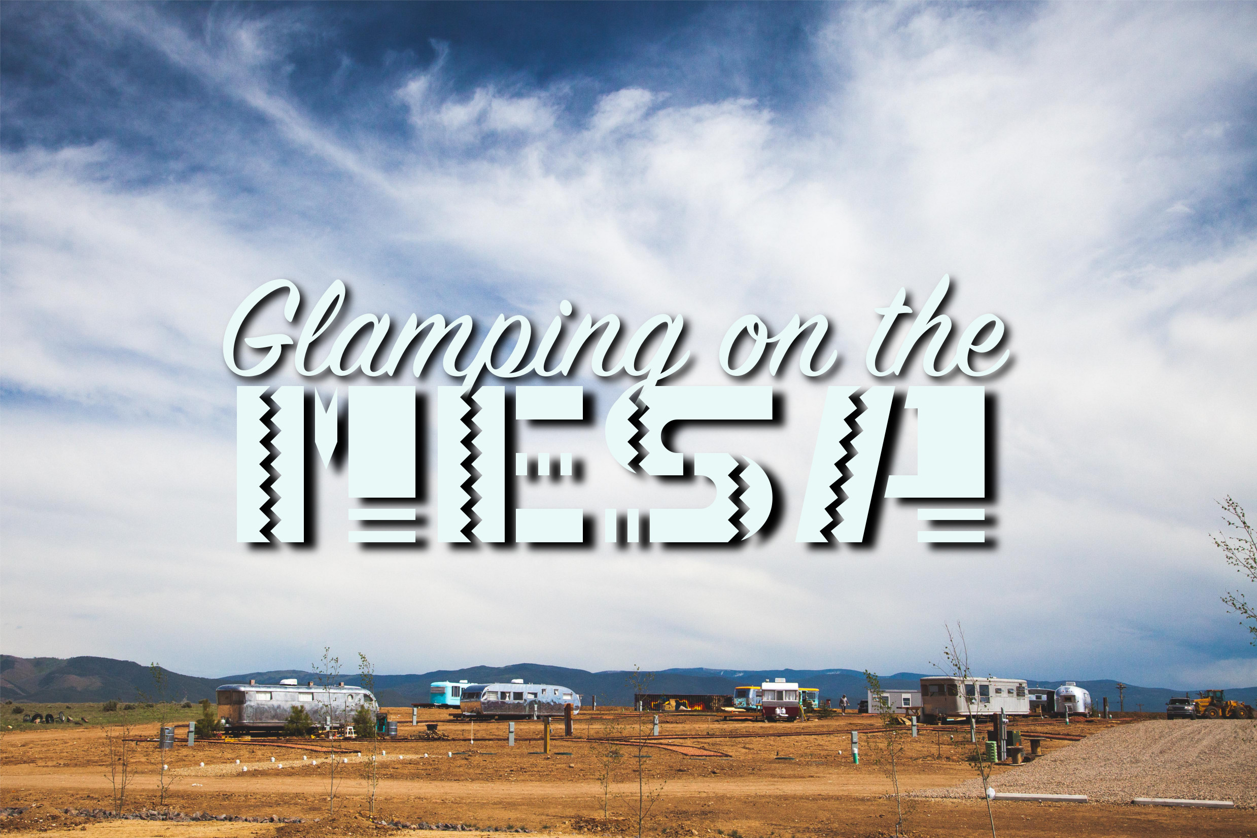
Rachael and I are not very touristy people. We like to camp in the National Forest with few neighbors and even fewer utilities; this article
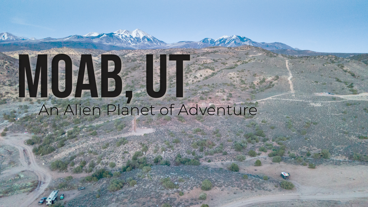
When you make the turn on HWY 191 to start the descent into Moab, Utah, you transition from a world of pine trees and alpine
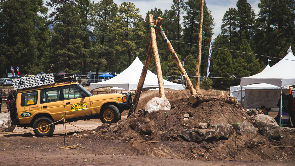
**See our newest episode of our VLOG on our YouTube Channel** Land Run 2017 When Rachael and I get an idea or a goal in
I will be honest: I don’t like paying for camping. On previous trips, we have avoided paid campgrounds by camping in a city park! However, that