Crazy Horse…a Crazy Monument Indeed
Any road trip to the Black Hills would be incomplete without a visit to the Crazy Horse Memorial. Learn how to visit nearly for FREE!
Overland Travel ⎮ Adventure Photography
Any road trip to the Black Hills would be incomplete without a visit to the Crazy Horse Memorial. Learn how to visit nearly for FREE!
Read our first impression of the Surly Disc Trucker touring bike. The Disc Trucker is an all around bikepacking, gravel grinding, and touring steel bicycle.
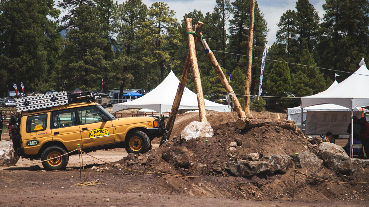
Daily Travel Log: Errands and Happy Hour, post Overland Expo West
We are instructing at Overland Expo 2019 WEST and we want to see you there! Buy tickets now!
Is off-grid living for you? We share real world advice and tips from our time housesitting off-grid.
Enjoy beach camping near San Felipe, Baja California. Wifi, showers, and a restaurant make this the best spot in town!
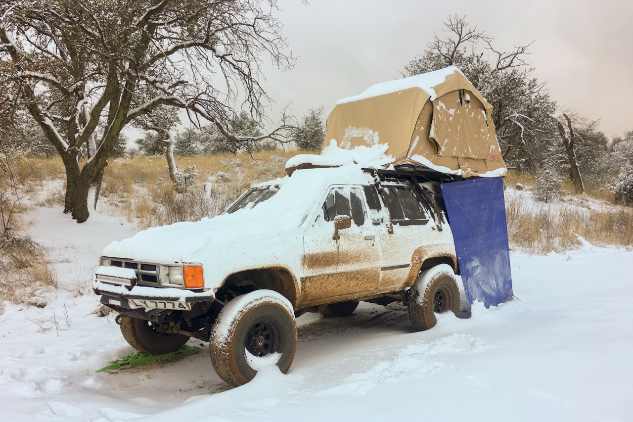
We live in Roof Top Tent FULL TIME! Read up about our first impressions of living in a roof top tent on the road.
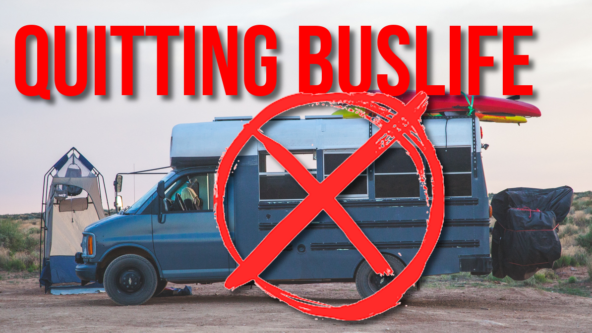
We are quitting #buslife…for now! Our jobs and travel plans have outgrown our bus for the immediate future and we are heading to Baja in our 1st generation Toyota 4Runner!
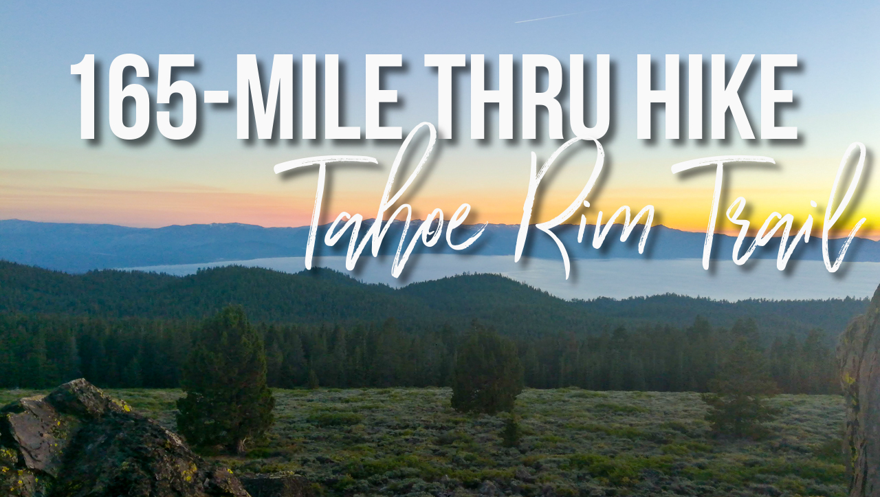
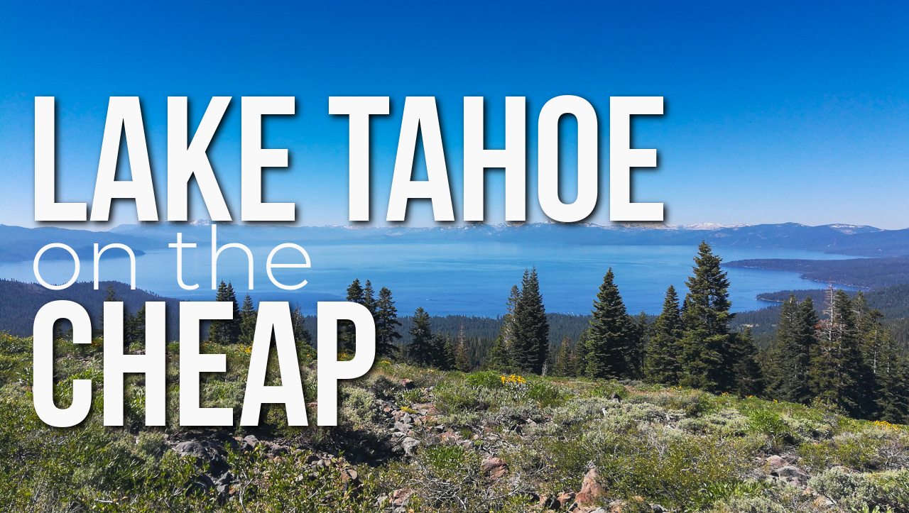
In June 2018 Rachael and I tore off on a thru hike around Lake Tahoe on the Tahoe Rim Trail. The TRT is a 165-mile
We have all seen the images or videos of the picturesque scene with the bikini-clad paddleboarder gliding across the iconic crystal-clear water of Lake Tahoe