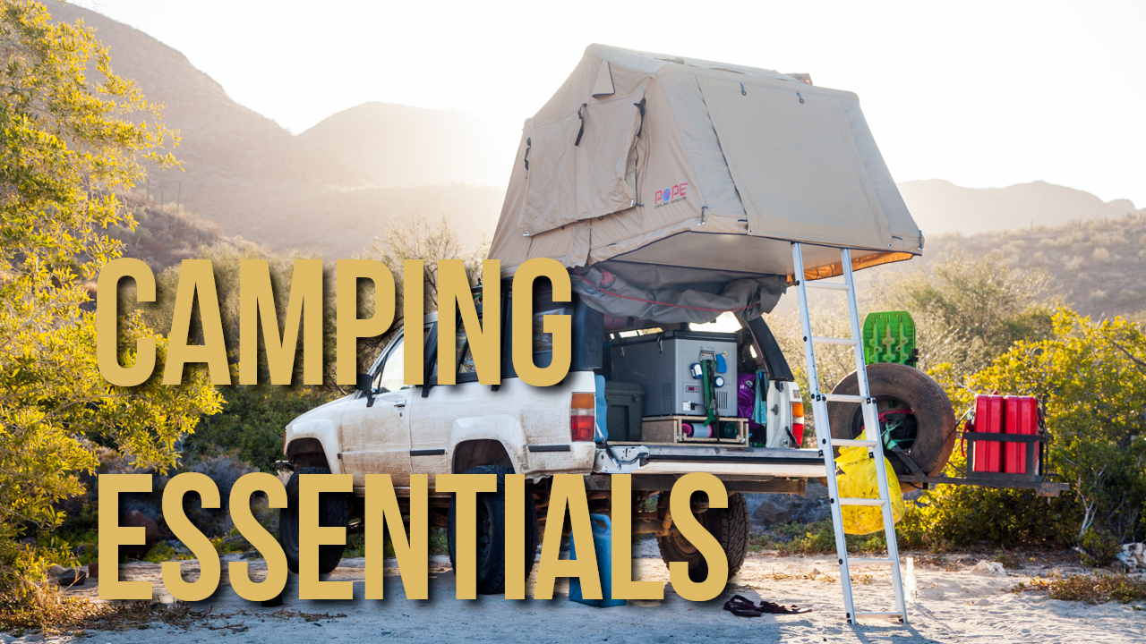
Top Camping Accessories from 2 Years of Skoolie Travel
In two years of overland travel in our van bus, we have found some accessories that every travel needs!
Overland Travel ⎮ Adventure Photography
In two years of overland travel in our van bus, we have found some accessories that every travel needs!
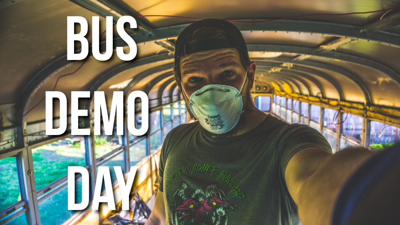
We remove all interior sheet metal and insulation inside Big Blue. We also remove the plywood floor that is damp and has caused rust.
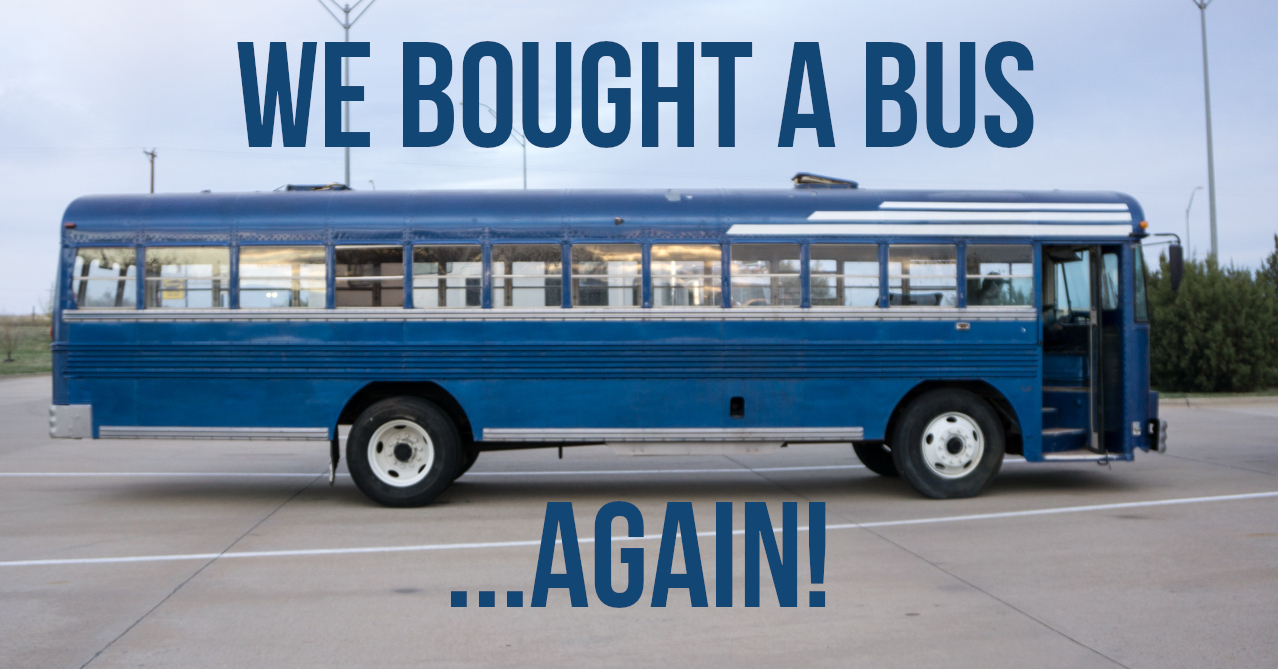
We bought another bus! Our plans are to chop the top to create a custom, poor-man’s, toy hauler to transport our 4×4 around.
During most of our travels around North America, we have worked online as our primary source of income. Our employment has required that we be
Can you have a Thanksgiving feast in a van? Why yes you can! Read all about our feast of the beach!
The best choice for whale watching on Cape Breton Island is Captain Mark. Read more to find out why!
Catch up with the @okienomads through a monthly update for July 2019!
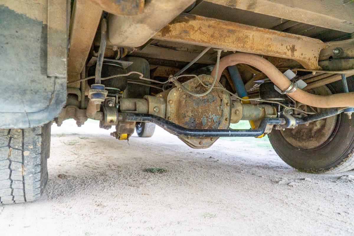
Originally our skoolie handled like a boat, it stills does. But now it handles like an appropriately nimble boat. We were constantly having to take
We are instructing at Overland Expo 2019 WEST and we want to see you there! Buy tickets now!
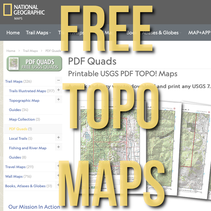
Super easy download of FREE National Geographic Quadrangle Maps of the United States.